Hawaii Declares Emergency as Category 5 Hurricane Lowell Bears Down on Western Islands
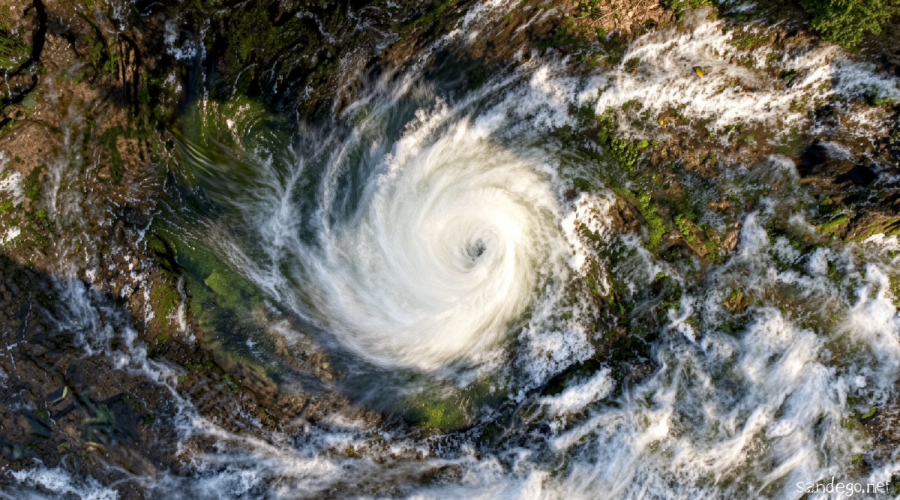
Sandego.net – The Hawaiian islands face their third consecutive tropical threat in as many weeks, and the state government has moved to full emergency footing. Governor Josh Green signed a statewide emergency declaration on Thursday, unlocking state resources and authorizing activation of Hawaii National Guard units. The trigger is Hurricane Lowell, a powerful system that reached Category 5 intensity — sustained winds up to 160 mph — on Friday evening local time, per the National Hurricane Center. The storm is expected to weaken to roughly Category 3 strength by the time it nears the island chain later this week, but even that reduced intensity carries enough energy to produce dangerous conditions.
Lowell’s exact path remains the central question. The National Hurricane Center’s official forecast places the storm’s center approximately 150 miles west of Niihau, or about 190 miles west of Kauai, from late Monday afternoon through Monday night. A lateral shift of fewer than 100 miles to the east of that track would place the islands directly in the path of a major hurricane. Even without such a shift, the western islands should expect dangerously rough seas, coastal flooding, and powerful rip currents beginning as early as this weekend.
“Some additional intensification is possible over the next day or so, followed by a gradual weakening trend by early next week,” the National Hurricane Center stated.
The Atmospheric “Claw Machine” Pulling Lowell North
Lowell is currently tracking westward, more than 500 miles south of the islands, but forecasters expect a sharp northward turn this weekend. The mechanism behind that turn involves an upper-level area of low pressure situated well north of Hawaii. When the two systems interact, the northern feature is expected to grab the hurricane’s circulation and yank it poleward — a process somewhat analogous to a claw machine’s jaws closing around a prize. The precise timing of that interaction, and how firmly the upper-level low “grips” the storm, will dictate both when the turn occurs and how closely Lowell passes the islands.
Because the turn has not yet happened, forecasters acknowledge lower-than-usual confidence in the exact track at this range. Ensemble model groups continue to spread across a wide spectrum of outcomes: from a potentially devastating landfall on Kauai or Oahu to a path passing more than 500 miles west of Niihau, which would produce little beyond slightly elevated surf and scattered showers. Confidence in the track is expected to sharpen considerably once the northward turn completes over the weekend.
Island-Level Preparations Underway
Kauai County has begun clearing drainage systems and pre-positioning equipment in areas prone to flooding. At least two state parks on the island have closed their camping facilities in anticipation of storm impacts. State land and natural resources crews were scheduled to notify campers on Friday that they must vacate their sites immediately.
Six high-water vehicles have been dispatched to Kauai to support potential rescue and evacuation operations. Officials across the state have urged residents and visitors to stock at least 14 days’ worth of food, water, medications, and other essentials before the storm arrives.
“Our state is still recovering from Lala, and we are not waiting for another storm to get close before preparing,” Governor Green said in a news release.
El Niño Supercharges the Pacific Season
Lowell is the latest in a rapid succession of tropical systems to menace Hawaii within a single month. In mid-August, Hurricane Lala dumped feet of rain on the Big Island, triggering severe flooding across the eastern slopes. Tropical Storm Moke followed in late August, delivering additional rainfall to the same region but with far less intensity, resulting in comparatively modest impacts.
The clustering of storms is a hallmark of El Niño conditions in the central and eastern Pacific, which shift the hurricane belt westward and amplify seasonal activity. Green acknowledged the broader pattern at a Friday news conference.
“This is a serious storm season,” the governor said. “We’ve got multiple storms because of El Niño that are stacking up – we’re told that’s what the fall is going to be like.”
For residents, the implication is straightforward: the threat window is not a single event but a sustained period of elevated risk through the autumn months. Emergency managers in each county are being asked to maintain readiness posture rather than stand down after each individual system passes.
A Ghost from 1992 Looms Over the Forecast
The trajectory Lowell is expected to follow — a westward track that abruptly hooks northward toward the islands — bears an unsettling resemblance to the path of Hurricane Iniki in September 1992. Iniki made landfall on Kauai as a Category 4 hurricane and remains the most destructive storm in Hawaiian recorded history, causing billions of dollars in damage and multiple fatalities.
“If (Hurricane Lowell) does what Iniki did in 1992 or even does anything close … we could see tragic consequences,” Green warned.
Lowell itself briefly attained Category 5 status on Wednesday before a temporary dip in intensity, only to rebuild to the top of the scale by Friday. Its current strength, combined with the proximity of the western islands to its forecast track, means that even a near-miss will generate significant oceanic disturbance. The hurricane’s circulation is powerful enough to churn up the sea surface over a vast radius, stacking up large swells that reach the islands well before the storm’s center arrives. Coastal communities on Niihau, Kauai, and the western shores of Oahu should anticipate sustained rough surf, rip currents, and localized coastal flooding from Saturday onward, regardless of where the eye ultimately passes.
As the weekend unfolds and the northward turn either materializes or fails to, forecast confidence will tighten. Until then, the islands face a window of genuine uncertainty — one that state and county officials have chosen to treat as a worst-case scenario, mobilizing resources now rather than reacting after the fact.
Related Reading
Frequently Asked Questions
What is Hurricane Lowell strengthens to Category 5?
Hurricane Lowell strengthens to Category 5 is the main topic of this guide. The article explains the context, practical details, and next steps readers should understand.
Why does Hurricane Lowell strengthens to Category 5 matter?
Hurricane Lowell strengthens to Category 5 matters because readers are looking for a useful answer, not just a short summary. Good content should match search intent and help them decide what to do next.