
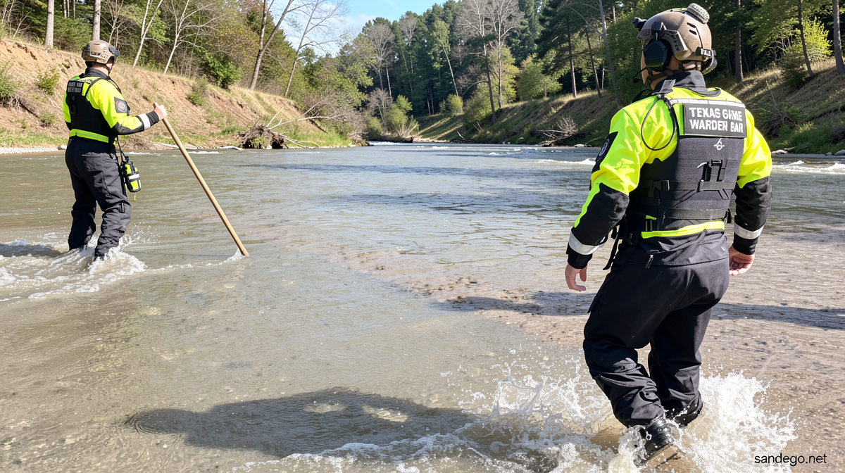
Texas Braces for Record-Breaking Flooding as Deluge Continues
Sandego.net – Wednesday brings yet another wave of sluggish storms laden with torrential precipitation to an already saturated portion of southern Texas, intensifying dangerous flood conditions across the region. The unyielding downpour has accumulated to approximately 16 inches in certain locations, triggering numerous water rescue operations and causing rivers and creeks to swell at alarming rates. Uvalde County stands among the most severely affected zones, having received roughly six months’ worth of precipitation in a remarkably short timeframe. Emergency responders extracted at least 36 individuals from rising waters within that county by Tuesday evening.
Official Responses and Evacuation Orders
Residents experiencing severe inundation in Uvalde have been placed under compulsory evacuation directives, according to local law enforcement authorities. Governor Greg Abbott addressed the media Wednesday evening, declaring that the current situation may surpass all previous flood records in the state’s history. Following his issuance of a disaster declaration covering 59 counties on Tuesday, Abbott confirmed that no deaths have been documented despite the widespread devastation. Statewide rescue efforts have saved more than 75 individuals from increasingly dangerous water levels.
The Weather Prediction Center has identified this as a worst-case scenario, with storms repeatedly targeting the same vulnerable regions while the ground remains thoroughly saturated.
Regional Impact and Infrastructure Damage
Transportation networks across Texas suffered significant disruption, with the Texas Department of Transportation reporting 114 roadways submerged at Wednesday’s peak. The National Weather Service deployed its most severe flood warning level for over 25,000 residents in Boerne, situated approximately 30 miles northwest of San Antonio. Cibolo Creek breached its banks, submerging a primary thoroughfare through the community. Local authorities fielded more than 109 emergency calls and executed 36 water rescues, while an additional 53 individuals—including those removed from two residential complexes—were relocated to designated shelters.
Chris Shadrock, the city’s communications and civic engagement director, emphasized the severity of the situation during a Wednesday news conference. “This is a life-threatening weather event. I don’t want to mince words about how serious this situation is,” Shadrock stated. Meanwhile, another flash flood emergency was declared for D’Hanis residents, located roughly 50 miles west of San Antonio. Medina County and Hondo jointly established emergency accommodations for displaced D’Hanis inhabitants. Seco Creek experienced rapid elevation before beginning to recede later in the day.
Historical Context and Future Forecasts
Multiple river and creek monitoring stations currently report major flood stage conditions—the most critical classification possible—with three additional locations expected to reach this threshold within the next 24 hours. Meteorologists caution that even heavier precipitation may arrive, potentially creating catastrophic conditions. Wednesday represents the second successive day the Weather Prediction Center has issued its maximum flooding rain risk designation, marking the first back-to-back occurrence since April 2025.
The region anticipating further downpours encompasses the Texas Hill Country, which endured devastating flash flooding last July that claimed more than 130 lives, including 25 young campers and two counselors at Camp Mystic. Governor Abbott noted that certain areas might receive greater rainfall totals than last year’s event, though water levels are not expected to climb as precipitously. “We’re better prepared than we have ever been to deal with weather events in general, but rainfall events and flooding events in particular,” Abbott explained, highlighting the installation of warning sirens at Guadalupe River campgrounds.
Additional rescue operations unfolded in neighboring Medina County, while a tornado touched down near Interstate 10 in northwest San Antonio around 8 a.m. Central Time. The San Antonio Fire Department is evaluating commercial properties at a local shopping center for structural damage, with no injuries confirmed. The heightened flood threat will persist through Friday as storms continue delivering precipitation at rates of 2 to 4 inches hourly. Areas facing the greatest danger of sudden flash flooding mirror those overwhelmed on Tuesday, including portions of the western Hill Country, the Edwards Plateau, and the Rio Grande Valley near the international border. A Level 4 of 4 high risk designation remains active, with forecasters predicting an additional 4 to 8 inches of rain and potentially higher localized amounts through Thursday morning.